If you park at Brown's Ranch most Saturday mornings, you already know the drill has changed. The gate off Alma School Parkway is chained, the lot behind it sits empty under orange construction fencing, and the ranger who usually waves you toward the kiosk is gone. Patch reported that the city started work there on July 13, 2026, and the trailhead is expected to stay closed through fall.
For a lot of North Scottsdale residents, this is not a minor detour. Brown's Ranch is the default. It is the trailhead with the most parking, the widest trail network, and the easiest sunrise loop before the heat sets in. Losing it for a season means figuring out, in practice, where that displaced foot traffic actually lands. The city named four backup trailheads. The four trailheads are not interchangeable: Tom's Thumb may be busy at 7 a.m., while other options may offer quieter ground.
What's Actually Closing, and Why
The project covers the trailhead building, the parking lot, and portions of the surrounding trail system, funded through Scottsdale's 2004 Preservation Sales Tax, the dedicated levy voters approved to build and maintain the Preserve's infrastructure. The scope is more than a resurfacing job. The city is redesigning the parking lot for better drainage and traffic flow, replacing lighting and roofing on the trailhead building, adding a new trail dispersal area, and rerouting five trail segments to reduce erosion and protect sensitive habitat near the trailhead.
That last point matters for anyone who hikes there often. Some of the singletrack you remember, particularly the segments closest to the building, will not exist in its current form once the project wraps. The layout changes, not just the parking lot.
The city is also asking visitors not to park along nearby residential streets while the lot is closed, which is a real consideration if you live in one of the neighborhoods bordering Alma School Parkway. Overflow parking in a subdivision that was never built for trailhead traffic creates friction fast, and it is the kind of thing that turns a construction project into a neighborhood dispute.
The Split That Actually Matters
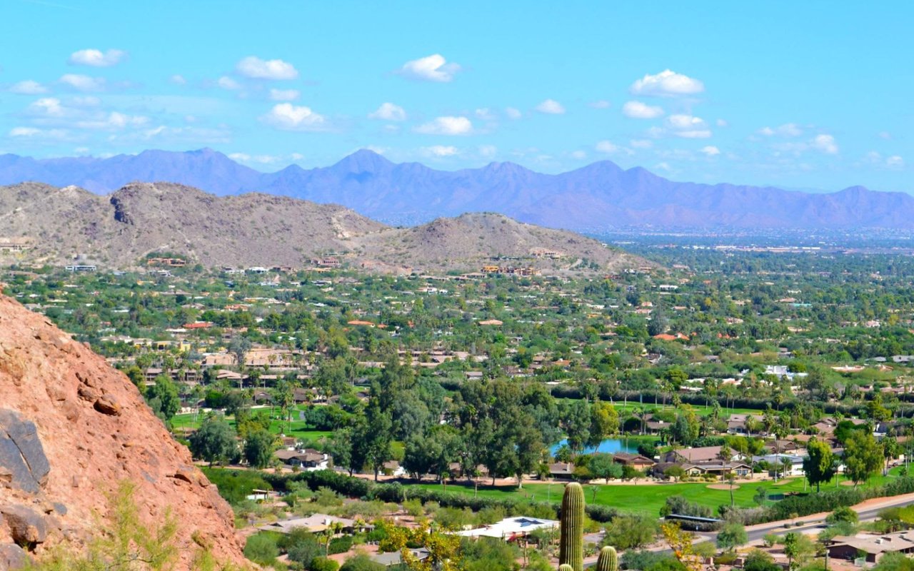
The Preserve itself is enormous, more than 30,500 acres and over 230 miles of multi-use trail, drawing close to a million visits a year across all its trailheads. Brown's Ranch alone handles a meaningful share of that north-end volume, so the question is where that volume goes now.
The city's answer is four names: Pima Dynamite, Fraesfield, Granite Mountain, and Tom's Thumb. Three of those trailheads sit in the same interconnected north-central corridor as Brown's Ranch, sharing trail junctions and overlapping loops. Tom's Thumb anchors a different part of the Preserve, centered on a single, well-known destination hike rather than a sprawling network. Its parking may become tighter if more Brown's Ranch visitors use it.
Here is how the four actually compare:
| Trailhead | Relationship to Brown's Ranch | Best for | Signature trail |
|---|---|---|---|
| Pima Dynamite | Directly connected trail network | Easy loops, saguaro viewing, mountain biking | Latigo Trail to a crested saguaro, roughly 15 minutes from the lot |
| Fraesfield | Connects onward to both Brown's Ranch and Granite Mountain | Quiet, short loops | 3 to 4 mile beginner loop with connector options |
| Granite Mountain | Adjacent corridor, similar terrain | Moderate loop hikes | Granite Mountain Loop, 5.6 miles, 406 feet of gain |
| Tom's Thumb | Separate part of the Preserve, own destination crowd | The specific granite spire summit | Switchback ascent to the iconic rock formation |
Pima Dynamite Is the Closest Thing to a Direct Swap
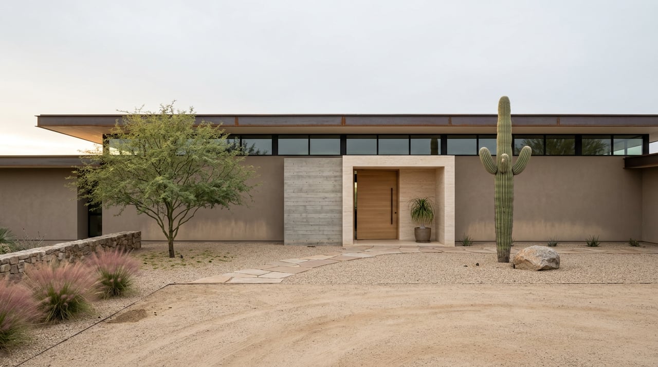
Of the four options, Pima Dynamite absorbs the most Brown's Ranch habit. It sits at the north side of Dynamite Road just east of the Pima intersection, and its Corten steel building, designed by Weddle Gilmore Architects, won a 2023 AIA Small Project Award. The site was sited around its own natural wash patterns rather than against them, which is part of why the trailhead handles heavy multi-use traffic well.
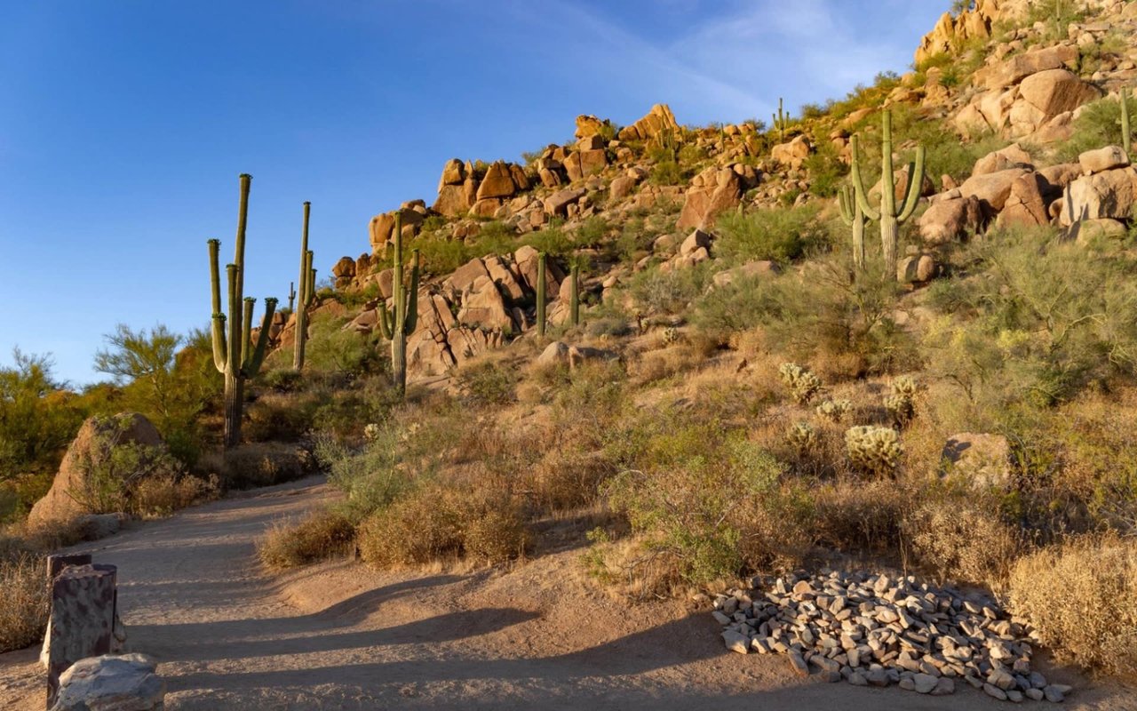
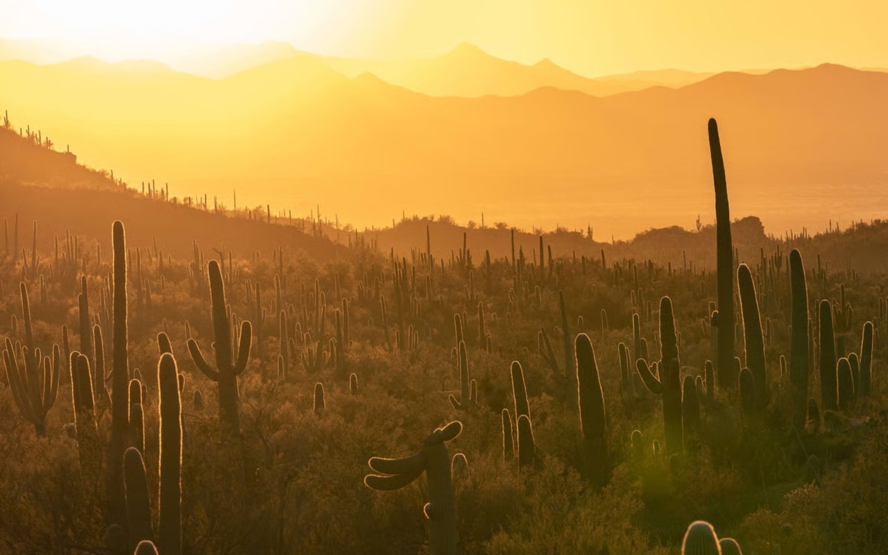
The trail worth knowing here is Latigo, which leads to one of three crested saguaros near this trailhead, a genetic mutation that shows up in roughly 1 in 200,000 saguaros. One of the three sits close enough to reach in about a 15 minute walk from the parking lot, which makes it a realistic stop even on a weekday morning before work. If you want more distance, Axle Grease runs 4.5 miles tracing the edge of the Preserve, giving regulars looking for their old Brown's Ranch mileage a genuine substitute.
Fraesfield Is the Quiet Option
Fraesfield sits off Rio Verde Drive and functions less as a destination and more as a connector. It offers easy 3 to 4 mile loops on its own, and its trails link directly back to both Brown's Ranch and Granite Mountain, so it is a reasonable staging point if you are building a longer route across the closure. The tradeoff is exposure. Some hikers note occasional air traffic and power line views along stretches of the corridor, which is a fair description of most of this section of the Preserve and not unique to Fraesfield. If your priority during the closure is simply fewer people on the trail, this is where you will find that.
Granite Mountain Is the Closest Terrain Match
Granite Mountain, at 31402 N. 136th Street, has restrooms and shade ramadas but no drinking water, so plan accordingly. Its signature route, the Granite Mountain Loop, runs 5.6 miles with 406 feet of elevation gain, a moderate profile close to what regulars associate with a solid Brown's Ranch morning. The shorter Bootlegger Trail, about 0.7 miles through a corridor of large stone slabs, makes a good add-on or a standalone option on days you want less time on your feet.
Tom's Thumb Serves a Different Hiking Goal
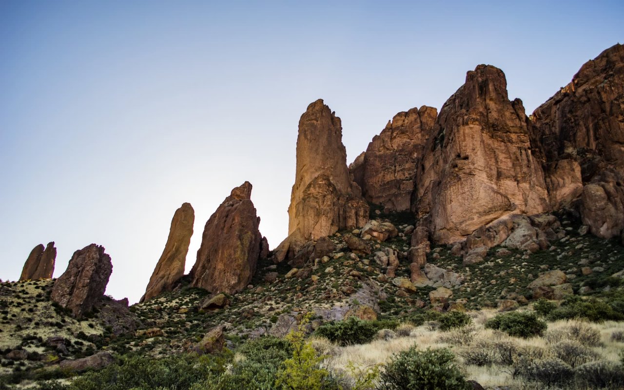
Tom's Thumb deserves its reputation. The ascent to the granite spire, named for Tom Kreuser, the first Arizona Mountaineering Club member to summit the formation, is one of the more recognizable hikes in the Valley. But it already draws its own crowd for exactly that reason, independent of anything happening at Brown's Ranch. If you choose it as a backup, parking may be tighter, especially on weekend mornings. It is worth doing for the hike itself, rather than as a routine substitute for Brown's Ranch.
A Simple Way to Reroute
If you are trying to rebuild your routine without overthinking it:
- For your regular sunrise loop, start with Pima Dynamite. The mileage and terrain are the closest match, and the trail network still connects to familiar ground.
- For a shorter or quieter version of the same habit, use Fraesfield. It is built for exactly that.
- For a longer weekend hike with real elevation, Granite Mountain Loop covers similar distance to what most Brown's Ranch regulars are used to.
- Save Tom's Thumb for when you specifically want that hike, not as a substitute for anything else.
What to Watch For Before Fall
Construction timelines shift, and a fall reopening target is not a fixed date. Check the trailhead signage or the city's Preserve page before you plan around it, particularly as the parking lot redesign and trail rerouting near completion. The five rerouted segments mean the map you remember will not be the map that reopens, so give yourself a few passes to relearn the junctions once the gate comes back up.
In the meantime, the Preserve is not smaller. The closure simply shifts where visitors start their hikes, and these comparisons can help you choose among the four trailheads.
If you are new to North Scottsdale and still working out which trailhead fits your weekend, or you are weighing a move to a street where one of these trail systems is a five minute drive instead of twenty, Kevin Owens and ARC° Partners can walk you through what daily life actually looks like block by block. Make a Move when you are ready.