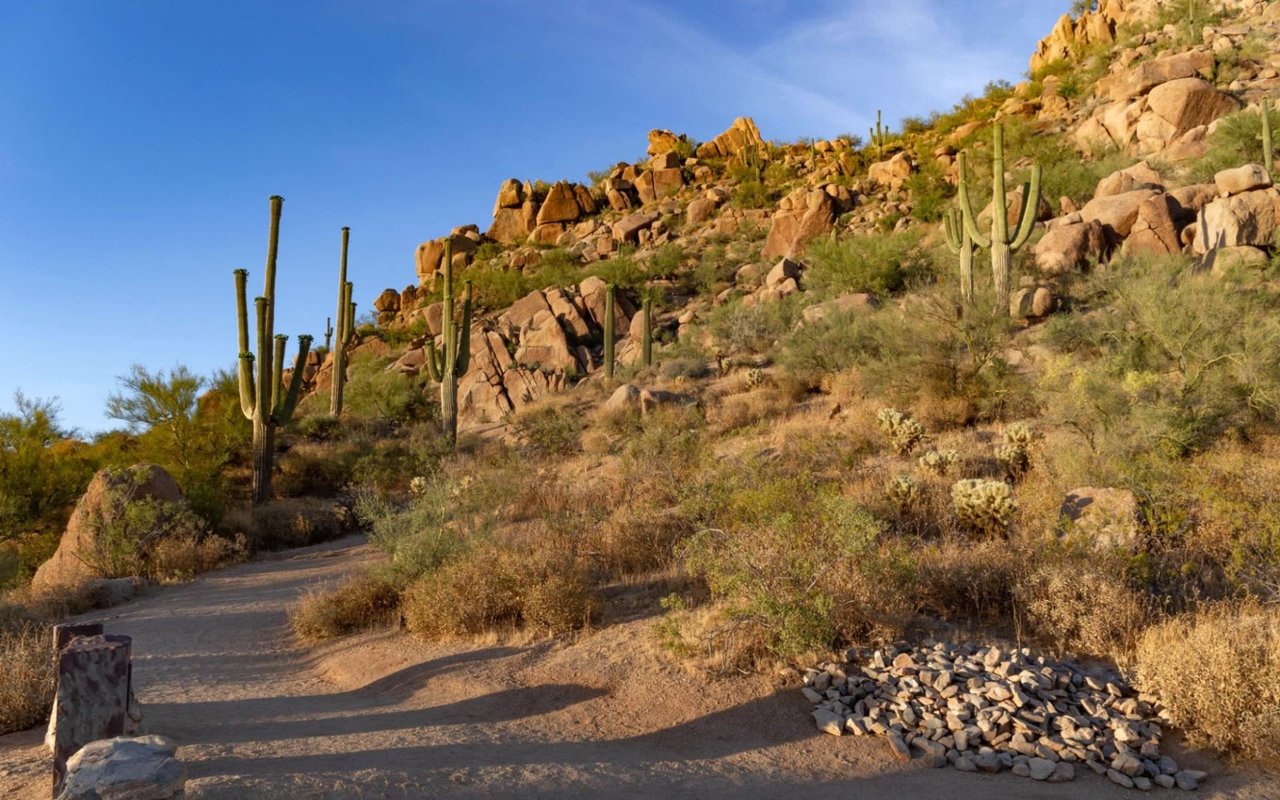
Brown's Ranch Trailhead reopened on Oct. 30 after a summer of construction. The parking lot is back, and so is the equestrian lot. The trails start differently now. The City of Scottsdale's McDowell Sonoran Preserve page lists a new trail dispersal area with five rerouted trails as the main change. If you have hiked from 30301 N. Alma School Pkwy for years, your first few minutes on the trail may not look the way you remember.
That makes this first week back about relearning the trailhead. Over the next three weeks, the McDowell Sonoran Conservancy is running free walks and hikes that start right there.
What the city rebuilt
According to the city's Brown's Ranch Trailhead Improvements page, work was set to begin July 13, 2026. The budget was $1,165,599, paid for by the 2004 Preservation Sales Tax. Between the project page and the reopening notice, the city lists this work:
- A redesigned parking lot, built for better durability, drainage and traffic flow
- New lighting and roofing on the trailhead building
- A new trail dispersal area, with five trail segments rerouted to reduce congestion and protect sensitive areas
- A resurfaced equestrian lot
- Better pedestrian connections and upgrades to aging infrastructure
Most of that list you'll notice in the parking lot. The third item is the one you'll notice on the trail. The word "dispersal" explains the goal. Hikers, mountain bikers and riders used to funnel into the same few trails from one busy lot. The new design spreads them out right at the trailhead, before they ever reach the wider trail network.
The congestion problem was baked into the trailhead
The city gave two reasons for the reroutes: less congestion, and protecting sensitive areas. The first is easy to understand once you look at how much trail feeds into one parking lot. The preserve covers more than 30,500 acres and has over 230 miles of trails shared by hikers, bikers and equestrians. Brown's Ranch serves all three groups. Its listed amenities include parking, restrooms, shade ramadas, water and horse facilities.
When one trailhead serves that many people and that many kinds of trips, the crowding happens in the first stretch of trail, where everyone shares the same path before splitting off. Rerouting segments there tackles the crowding where it happens. It also explains why the parking lot and the trails were rebuilt in the same project. Changing how people leave the lot without changing how they move through it would have fixed only half the problem.
The project list doesn't include new restrooms, drinking fountains or shade structures. Those amenities were already part of Brown's Ranch before the closure, and the city still lists them for the trailhead. The improvements focused on traffic flow, durability and lighting, not on adding facilities.
Which maps no longer match
Your map may now be out of date. The city's north-area trail map is dated Spring 2026, which is earlier than the July construction start. The map labels each trail segment with its length to the tenth of a mile, and you add segments together to get a route's total. That method works well far out in the preserve. Near the trailhead, where the five rerouted segments are, the old numbers may not add up the same way anymore.
The city hasn't published a list of the five rerouted segments by name. Until it does, the map posted at the trailhead is the best reference for the new layout. It's worth stopping to look before you head out, even if you've hiked this route a hundred times. A downloaded map or a GPS track saved before July may still show the old way out of the lot.
Two short, well-known routes give you a useful baseline. The McDowell Sonoran Conservancy's trail guide lists:
| Route | Round trip | Elevation gain | What it reaches |
|---|---|---|---|
| Jane Rau Interpretive Trail | 0.4 miles | Minimal | Starts after a short walk from accessible parking |
| Brown's Ranch Trail | 3.1 miles | 100 feet | The historic ranch site and back |
The Conservancy published these distances, and they may not reflect the post-construction layout. Take them as close estimates, not exact figures.
November's free walks start at the new trailhead
This is the practical part. The Conservancy's November 2026 calendar lists four free programs that meet at Brown's Ranch Trailhead in the weeks right after it reopens. Each event page asks you to RSVP because space is limited.
| Date | Program | Time | Length and difficulty |
|---|---|---|---|
| Sat., Nov. 7 | Sonoran Desert Discovery – Educational Walk | 9 to 11 a.m. | Easy walk |
| Mon., Nov. 9 | Introduction to the Preserve and Conservancy | 8 to 11 a.m. | About 7 miles, difficult |
| Sat., Nov. 14 | Brown's Ranch Homestead – Educational Hike | 8 to 10:30 a.m. | About 3 miles round trip, moderate |
| Tue., Nov. 17 | Brown's Ranch: The Real Story – Educational Walk | 9 to 10:30 a.m. | Half mile, easy |
Each walk suits a different hiker. The Nov. 9 introduction is the longest at about 7 miles. The Conservancy rates it difficult and describes a moderate pace with stops to talk, so it covers the most ground of the four. The Nov. 14 Homestead hike covers about 3 miles round trip, close to the 3.1-mile Brown's Ranch Trail route in the table above. If you mostly walk out to the ranch site, this hike lets you check your usual route against the new layout. The Nov. 17 walk covers half a mile in 90 minutes. It's a slow, easy pace that leaves plenty of time to look around the area right by the trailhead.
One listing can trip you up. The Sonoran Desert Discovery walk runs again on Saturday, Nov. 28, from 9 to 11 a.m., with the same name and format as the Nov. 7 walk. But the Nov. 28 walk meets at Gateway Trailhead, not Brown's Ranch. If you see the program on the calendar and drive north on Alma School Parkway by habit, you'll end up at the wrong side of the preserve.
The rest of the month's calendar
Several other November programs start from other trailheads. They're useful if you want to compare the new Brown's Ranch with the rest of the preserve. The calendar includes a Veterans Day Hike on Nov. 11 at Lost Dog Trailhead and a Thanksgiving hike called "More Pie Please" on Nov. 26. There are also two lectures that cover the Preserve's surroundings: "Scottsdale Water's Future" on Nov. 14 and "Master Planned Developments in Scottsdale" on Nov. 24. Times, meeting spots and RSVP details are on each event page in the Conservancy's November calendar.
When the parking lot fills up on a cool Saturday morning, the new dispersal area is supposed to spread that crowd across five rerouted segments. On the Nov. 7 and Nov. 14 walks, you can see how well that works for yourself.
At Kevin Owens (ARC Partners), we follow the North Scottsdale places that shape a normal week, and Brown's Ranch is one of the most important. If you'd like to talk about the neighborhoods closest to the preserve's northern trailheads, we're happy to help you make a move.